General
Vector Perfect mapping is a fundamental requirement for the drawing of all title polygons on the cadastral map. This is an integral part of our plans training courses and was one of the marking criteria applied to our SCQF plans accreditation. Responsibility for all polygons authorised on a title lies with the individual settlers and the quality and accuracy of all mapping is a key part of settler's objectives. Within the plans quality framework, the issue of vector perfect mapping has been identified as a recurring theme, and it is one of the points checked during the pre-despatch quality assurance process.
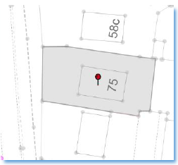
Vector perfect mapping means following the vector points on the underlying Ordnance Survey (OS) detail when it is relevant to do so. Failure to map polygons in this style is likely to result in an error being flagged up during any quality assurance of a title.
Current best practice is that where you are plotting a line as there is no OS feature to follow, but other points exist on the cadastral map (for example, another polygon that was plotted in an adjoining title) these should be snapped to. Failure to do so could result in small overlaps and underlaps with the adjoining title.