OS 1:10,000 Base Scale Mapping - Possible Upgrade
- Editor9
- RPT Admin (Unlicensed)
Currently, the OS are considering a proposed upgrade to their 1:10,000 maps and they have been looking at various ways of approaching this. Initially the OS looked at upgrading the survey specification of the lowland areas only, which would catch most agriculture, settlement, transport and industry areas (these tend to be higher density areas within the rural mapping environment). However engagement with customers, particularly RoS, has indicated the preferred option to be a complete upgrade of all 1:10 000 mapping to either the rural specification of 1:2500 or in some cases the urban specification of 1:1250. The OS have intimated that this is their likely option.
This overhaul and upgrade, if it goes ahead, will not begin until OS have fully assessed customer needs with the project anticipated to run for 4 years following consultation.
One specific and major impact of the possible OS upgrade on RoS would be the updating of the registered titles we currently hold and a team would be required to update all the impacted titles which, although of a relatively small number, will be of a more complex nature. Using the PEET tool developed for PAI would not be an option. However, the beneficial consequences of the upgrade would be the more accurate mapping of future registrations as the new map would be more representative of real-world features and would be improved both in terms of currency and specification.
To highlight the impact of the proposed upgrade this table shows the current OS levels of tolerances for 1:2500 and 1:10 000 mapping.
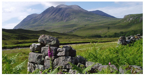
Currently, for many titles in the 1:10,000 base scale areas, the current specifications are inadequate, however after the OS upgrade the positional accuracy or absolute accuracy would change from 4.1m to 1.1m. This upgrade would be key to addressing issues arising from deed plans prepared using modern technology, where surveyors can go out in the field and capture geo-spatial coordinates using GPS and prepare very high quality plans which, at the moment, we have to compare to a much more generalised map.
The proposed upgrade would remove much of the existing generalisation on 1:10,000 scale maps. Features would be far more representative of development on the ground. For example,
- Roads would reflect actual width
- Areas of vegetation and woodlands would be far better represented as the geometric fidelity of these areas would be greatly improved
- The scale of cartographic features such as text and symbols would also be reduced
| Base Scale | 1:25000, Rural | 1:10,000, Mountain & Moorland |
|---|---|---|
| Positional Accuracy | +/- 1.1m | +/- 4.1m |
| Minimum separation between features | 2m | 5m |
| Minimum feature size (buildings, vegetation) | Vegetation over 0.1 hectare and 5m wide Buildings over 8m2 | Vegetation over 1.0 hectare and 10m wide Buildings with a minimum dimension of 5m |
| Cartographic features (text & symbols | - | All appear approximately 4 times larger than on 1:2500 scale Rural mapping |
Registers of Scotland (RoS) seeks to ensure that the information published in the 2012 Act Registration Manual is up to date and accurate but it may be amended from time to time.
The Manual is an internal document intended for RoS staff only. The information in the Manual does not constitute legal or professional advice and RoS cannot accept any liability for actions arising from its use.
Using this website requires you to accept cookies. More information on cookies.
Feedback