Groupings in the Plan Creator
Naming of groupings
All groupings form part of the cadastral map, with the header on the pdf plan generated for a grouping being "Additional Cadastral Map View/Supplementary Data". This double heading allows the pdf plan to be used in both scenarios in which the groupings function is used:
- tenement cases and lease in tenement cases will refer to these groupings as 'supplementary data 1, supplementary data 2, etc. ';
- and if the groupings are required as additional layers to the cadastral map they will be narrated as 'additional cadastral map view 1, additional cadastral map view 2, etc'.
- In both scenarios, the number of the plan is the same as the number given to that grouping within the Plan Creator.
- If the title contains a mixture of additional cadastral map views and supplementary data, (for example, tenements in a complex development) then the numbering of those plans will run consecutively, irrespective of the nature of the grouping, using the grouping number. i.e. 'additional cadastral map view 1, supplementary data 2'.
Please ensure that you add an LRS title note for the legal setter advising them to edit the plans references using the descriptions, above, if you have used a grouping for an additional layer of the cadastral map. For example,
Legal Examiner, please note that all plans references that are depicted in grouping ABN12345-1 should be referred to in the title sheet as "tinted/hatched/edged xxx on additional cadastral map view 1".
Appropriate Uses of Groupings
There are currently five casework scenarios where it is appropriate to use groupings:
1 Mapping of Tenements
The mapping of tenement properties in the Plan Creator follows basically the same processes and procedures as were previously followed when mapped in the DMS. The Further Guidance section Mapping of Tenements contains detailed guidance for plans officers that has been updated to reflect the small changes due to the introduction of the Plan Creator.
The two main differences are (1) that classifications must be added, and (2) that no SPL index entries are created for the supplementary data to the title sheet as this is now achieved by using the groupings functionality within the Plan Creator.
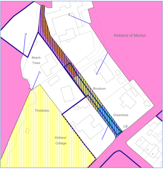
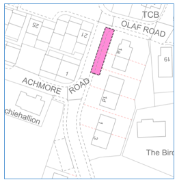
When a tenement title needs plans references for the flat and/or its associated rights and pertinents (garden ground, bin store, etc), then the groupings functionality should be used. The tenement steading cadastral unit extent is mapped, classified and remains "ungrouped" on the primary cadastral map layer. The flat and/or its pertinents are mapped, classified, and grouped on one or more additional layers of the cadastral map, depending on complexity, and should be narrated in the title sheet as supplementary data 1, 2, etc. (with the number corresponding with the grouping number).
When the plans references for the flat and/or its pertinents are complex and spread over several floors, it may be better to split over two or more groupings so that the plans references are all clear and so the appropriate Classifications can be applied to them.
Should I use one or two groupings? When the plans references for the flat and/or its pertinents are complex and spread over several floors, it may be better to split over two or more groupings so that the plans references are all clear and so the appropriate Classifications can be applied to them. For example: | |
| In this deed, the flat is described as edged blue and tinted blue on the first floor, with a right in common to the passage tinted yellow and blue on the ground floor. Although it would be possible to use very similar references in the Plan Creator in a single grouping, it would not be possible to double classify the blue tinted area - remember, it is Ownership of Strata for the exclusive part of the flat on the first floor, but is Ownership - Shared for the right in common on the ground floor. |
| Poorer solutions - overlapping references | |
  | In these two possible solutions, although the correct classifications could be applied to the plans references, the shape of the references means that the small, narrow area of the yellow tinted hall that lies under the flat is not clearly visible when the flat is either edged or hatched. There will, of course, be other flats where overlapping references work well without obscuring small detail, so please consider each property on an individual basis. |
| Better solution - separate groupings | |
| This solution using two groupings allows both classifications to be applied appropriately, and for the references to be seen clearly. Grouping 1 - flat tinted blue on supplementary data 1 on the first floor - classified as Ownership of Strata Grouping 2 - passage tinted yellow on supplementary data 2 on the ground floor - classified as Ownership - Shared |
| If you are unsure whether it may be better to split your flat and pertinent references into two or more groupings, please discuss with a referral officer. | |
2 Mapping of Leases
Most lease cases will not need to make use of groupings. However for those leases or sub-leases forming part of a tenement, the leased subjects will be shown in a grouping as supplementary data (the tenement steading cadastral unit will be shown in the primary ungrouped layer of the cadastral map). See the Further Guidance section Mapping of Leases for full details.
3 Multi-part plans
When a title contains plots of land that are separated by a distance that will make the cadastral map extract be over a large number of pages when printed, consideration should be given to splitting the plots into two or more titles. Please speak to a Plans HEO if you think your title should be considered for splitting.
If the decision is not to split the property into multiple titles, the groupings functionality within the Plan Creator can be used to create multi-part extracts from the cadastral map and thus make the title more manageable to print or view. The Further Guidance page on the Creation of Multi-part Plans in the Plan Creator contains guidance on this subject and on how such groupings are referred to in the title sheet.
The part or parts of the subjects transferred into a grouping will be narrated in the title sheet as being, for example, "tinted xxx on additional cadastral map view 1".
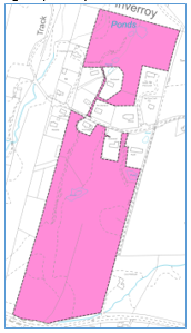
4 Pends
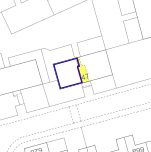
As all polygons are now classified in the Plan Creator, it is not possible to have polygons of different levels of ownership overlapping in the primary "ungrouped" layer. In those pend scenarios where there are different ownership rights at ground level and above ground level (i.e. not those with only rights of access at ground level), then the groupings functionality with the Plan Creator should be used when mapping such titles. The Further Guidance section Mapping of Pends contains detailed guidance for plans officers on various pend scenarios that reflect the changes needed due to the introduction of the Plan Creator.
When using groupings for a pend case:
| The primary "ungrouped" layer of the cadastral map should be used as normal for the main ownership polygons, common areas, burdens, etc. | For example: In the ungrouped layer you would create
|
| |
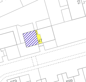
| The first "grouped" layer of the cadastral map should be used for the extent of any ownership of the building above the pend. | For example: In the grouped layer you would create
|  | Please note, this use of the groupings functionality in pends falls under the category of an additional layer to the cadastral map rather than a tenement/supplementary data scenario. The property section should be completed in that style. |
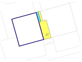
The property section for the above example would follow this style:
Subjects cadastral unit ABC12345 9 MAIN STREET, TOWN AB12 1BC tinted pink on the cadastral map and tinted blue at first floor level on additional cadastral map view 1. Together with a right in common with xxxx to the pathway and pend tinted yellow on the cadastral map....
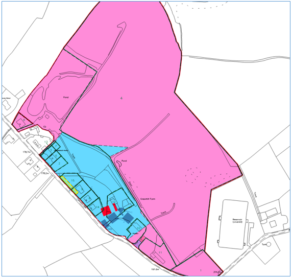
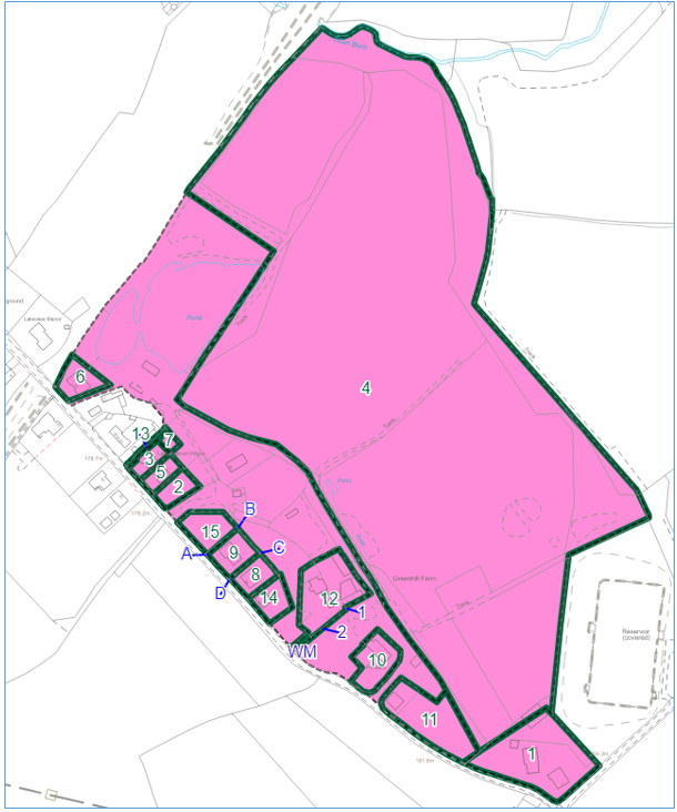
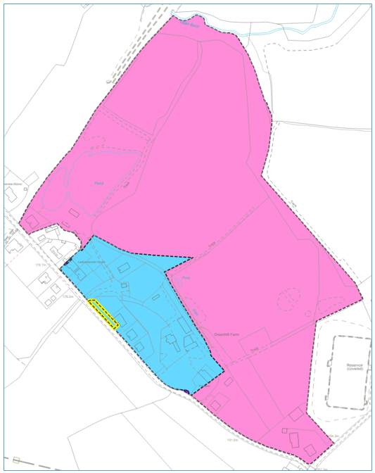
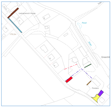
5 Additional layers of the cadastral map for complex titles
General
In principal, where references are clear and visible, they should be shown on the primary ‘ungrouped’ layer. So for example, if the cadastral unit only contains ownership and two references for servitudes there is normally no need to separate these onto different groupings (see FAQs). However, when mapping complex titles with multiple plans references there may be a need for some of the references to be placed in a separate grouping so that they are shown on a different layer of the cadastral map for ease of viewing and interpretation.
Ownership references can be shown on groupings, as per the multi-part plan and pend scenarios above, however where possible any ownership references should be shown on the primary "ungrouped" layer. If necessary, other plans references can be transferred into groupings when the primary ungrouped layer is too cluttered and gives a poor visual representation of the title.
Currently, each grouping will generate a separate pdf print/file. These additional layers to the cadastral map will be described in the title sheet as "additional cadastral map view 1, 2, etc".
If the title requires references to be brought forward from other registered titles, and they cover slightly different extents over the same routes, double or triple referencing should be avoided. References can be put on separate groupings to aid clarification of the extents and make the cadastral map more user friendly. The examples here show poor mapping style, and this old DMS practice should not be used in Plan Creator.
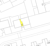
| This title contains triple edging, edging a narrow feature, and edging obscuring tint detail. Use of one or more groupings for references from burdens deeds would improve the clarity of references. |
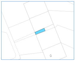
 | This title contains hatching over a narrow strip which also obscures a letter ref/arrow. Use of a grouping for the reference that is currently hatched would improve the clarity of references. |
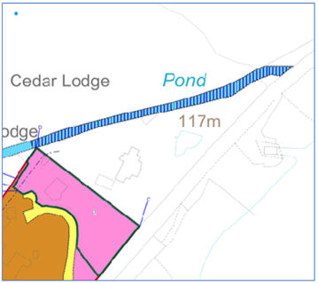
 | This title contains multiple tints and hatches with edges all in the same narrow area of an access road and verges. As well as being difficult to interpret due to complexity of references, there is a broken line reference under the hatching which is very difficult to see. Use of one of more groupings would improve the clarity of the references. |
In addition, some titles originally mapped in the DMS will require re-work in the Plan Creator and the use of groupings can help: in particular with regard to SPLs, or where multiple references exist, or where double or triple edging, or flipped edging has been used, or or where scanned supplementary plans can now be plotted. Further Guidance page Updating DMS Titles in the Plan Creator contains detailed guidance for plans officers on this subject.
The use of groupings has the advantage that it allows the same colour reference to be used in different groups in the same title, increasing the number of references available to the plans officer. However, the more general guidance on the appropriate use of colours and styles should continue to be followed - see the Further Guidance section Mapping Styles & Plans References on the Cadastral Map.
Groupings should be used if the cadastral map becomes cluttered and the extent of references unclear, subject to the rules outlined below. If you are unsure if it is appropriate to use groupings with your title, please speak with your referral officer or a Plans SEO.
Examples & Rules
If it is appropriate to use a grouping as an additional layer of the cadastral map, then the rules set out in these examples should be followed.
| Example 1 | |
|---|---|
Primary ungrouped layer used to show Ownership - Exclusive ...edged red on the cadastral map |
|
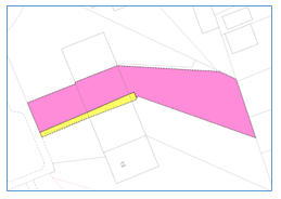
Additional grouped layer used to show the multiple references from one deed. All references from the Deed of Conditions are shown in this separate group, allowing this grouping to be duplicated for future applications within this development. ...tinted xxx on additional cadastral map view 1. |  |
| Example 2 | |
|---|---|
Primary ungrouped layer used to show Ownership - Exclusive ...tinted pink on the cadastral map |
|
Additional grouped layer used to show the multiple references from one deed. All references from the Deed of Conditions are shown in this separate group, improving the visibility of the references, and allowing this grouping to be duplicated for future applications within this development. ...tinted xxx on additional cadastral map view 1. | 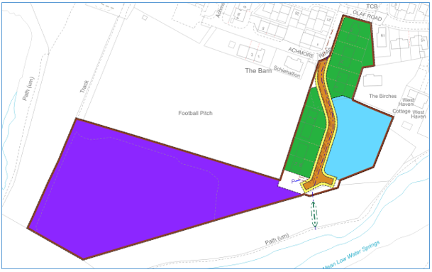 |
| Example 3 | |
|---|---|
Primary ungrouped layer used to show Ownership - Exclusive ...edged red on the cadastral map |
|
Additional grouped layer used to show the multiple references from one deed (burdens). All references from the Tree Preservation Order (TPO) are shown in this separate group, allowing this grouping to be duplicated for future applications affected by the TPO. ...labelled xxx in blue on additional cadastral map view 1. |  |
5.2 If you need to make changes to a title originally created in the DMS, and that title included double edging, then the title will need to be reworked in the Plan Creator to make those references visible on the cadastral map. The groupings functionality can be used to help with this.
| Example 1 | |
|---|---|
Original DMS mapping of title In this example, the original version of the title has green edge removal references on top of the red edge showing the extent. There are also various other references on the title plan that make interpretation a little difficult. With a title such as this, the preference is for us to now re-map showing the removals positively where possible, however consideration is required whether references for the removed areas are still required, and also the time needed to do the re-working. In some particularly complex and time-consuming registered titles, the use of the edge stacking tool may be appropriate instead. See the O: drive for further guidance on Positive Mapping in the Plan Creator (this guidance will be added to the Registration Manual in due course). |
|
Primary ungrouped layer Ownership - Exclusive ...tinted pink on the cadastral map In this example, the decision was made to change from red edging to tinting method to eliminate the double edging/edge stacking issue. The decision was also made to keep the green edged removals due to the number of removals that were also narrated as references in the burdens section. The green edges are retained on the ungrouped layer in order that ownership can be more easily identified and understood; they are classified as Removal. In addition, those burdens that relate to the removal edges are associated with those polygons in this primary layer. |
|
Additional grouped layer 1 used to show the roots of title references (referred to in the burdens section of the title sheet), along with a burden from a TPO which affected the original parent title extent. ...tinted xxx on additional cadastral map view 1. |
|
Second additional grouped layer used to show the burdens affecting the parent title from the various removals are shown. These are being shown on this separate layer due to the number of references involved and to aid visibility of the references - if they had been shown on the primary ungrouped layer, it would have been very complex and difficult to interpret. ...tinted xxx on additional cadastral map view 2. |
|
| Example 2 | |
|---|---|
Original DMS mapping of title In this example, the original version of the title has double edges and multiple references all in one plan on the DMS, resulting in a cluttered title plan. With a title such as this, the preference is for us to now make use of the groupings functionality to re-work the title and improve visibility of the references. | 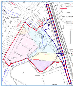 |
Primary ungrouped layer Ownership - Exclusive ...edged red on the cadastral map In this example, the decision was made to separate the burdens from the ownership to improve visibility. In addition to the ownership reference, the reference for an existing registered lease was retained on the primary layer of the cadastral map, along with the lease access references. Please note, when registering a lease or a title affected by a lease now, these access references would not be mapped, however here we are dealing with a title registered under previous legislation and the references were appropriate at that time. See Mapping of Leases for further details on current practice and policy. | 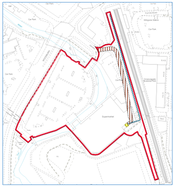 |
Additional grouped layer used to show the roots of title and burdens references referred to in the burdens section of the title sheet. ...edged xxx on additional cadastral map view 1. | 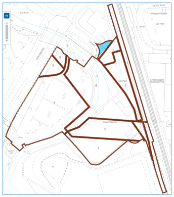 |
5.3 If an application refers to several deeds for rights & burdens, but those deeds only contain one or two references each, then depending on the complexity it may be appropriate to not apply the "one group peer deed" rule (see 5.1 above). Instead, the references can be brought together in sensible batches and shown on one or more groupings.
| Example 1 | |
|---|---|
Primary ungrouped layer used to show Ownership - Exclusive ...tinted pink on the cadastral map Note than in this example, a pink tint has been used rather than a red edge for the ownership reference due to the shape of the polygon - an edge would not be an appropriate style of reference for the very narrow parts of the polygon. |
|
Additional grouped layer used to show the burdens references from multiple deeds. As each burdens deed only included one or two references, and these were easily displayed in a clear manner, they have been included in a single additional grouped layer. ...tinted xxx on additional cadastral map view 1. |  |
| Example 2 | |
|---|---|
Primary ungrouped layer used to show Ownership - Exclusive ...tinted pink on the cadastral map Note than in this example, a pink tint has been used rather than a red edge for the ownership reference due to the shape of the polygon - an edge would not be an appropriate style of reference for the very narrow parts omitted from the polygon. |
|
Group 1 Additional grouped layer used to show the roots of title with burdens references from multiple deeds that are narrated in the burdens section of the title sheet. As each of these burdens deed only included one or two references, and these were easily displayed in a clear manner, they have been included in a single additional grouped layer. ...edged xxx on additional cadastral map view 1. |  |
Group 2 Second additional grouped layer used to show the plans references from a Dual Registered deed creating new real burdens. These have been shown on a separate grouping for clarity, and this has the additional benefit of being able to be copied for use in other titles affected by the deed. ...tinted xxx on additional cadastral map view 2. | 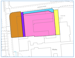 |
Registers of Scotland (RoS) seeks to ensure that the information published in the 2012 Act Registration Manual is up to date and accurate but it may be amended from time to time.
The Manual is an internal document intended for RoS staff only. The information in the Manual does not constitute legal or professional advice and RoS cannot accept any liability for actions arising from its use.
Using this website requires you to accept cookies. More information on cookies.
Feedback